01/11/2022
The weather is nice and since we can't do long trips, and don't want to go anywhere near people - thank you COVID - we did a day trip not far from our house.
First stop was Sears-Kay Ruins in Tonto National Forest. It's just east of Cave Creek & Carefree - about a 90 minute drive. Yes, dirt roads.
Second stop was Horsehoe Dam a ways farther up that nice 7 Springs dirt road.
Sears-Kay is an ancient Hohokam fortified ruin. The walls are stacked rock - about 40 rooms in all. They think they were built around 1050 AD and abandoned around 1200 AD.
No one is sure when and why the Hohokam switched to fortified positions or how their culture and communities dispersed, but like most ancient peoples just because we have no written record does not mean they disappeared.


Hiking around the hill you can look up and see the remains of one of the defensive walls

The ruins are up there - always near the highest point

The site is left as is so no other than clearing off some shrub the remaining walls a little hard to see.

As with most ancient people's sites the views are amazing. Loved this rock that looks like some animals head


The defensive wall as seen from the ruins


More rooms


And the arrowhead rock

This is the only reconstruction done to help you visualize just what the dwellings looked like. Rather sturdy.


The round shape is probably from an earlier phase of the culture. Round is harder to make so the square shape became preferred

More rocks


Big square rock

Lovely views.
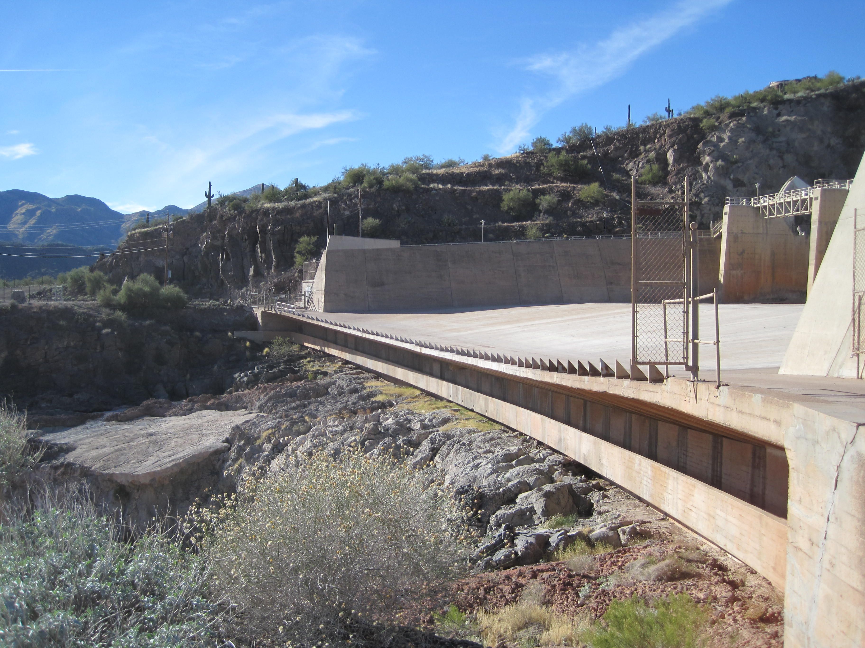
A few miles up the nice dirt road is Horseshoe Dam, which made Horseshoe Lake - funny how that works.
It was built from 1944-1946 by the Phelps-Dodge Copper Products Corp. for the Salt River Valley Water Users' Association under a water exchange agreement.
We found it to be rather odd construction, not that we're dam experts, but we have not seen one like it.

Approaching the dam

Think that is the pump house and spillway

Looks quite odd

That is actually a walkway under there

See - goes along the length to the other side

I would love to find out more about why there's this flat road type part - a truck actually did drive across it.


Looking at the spillway from the side

Walking back along the passage. Nice views